

The hike is 21.7 miles (~35 km) long with 8,800 feet (~2.7 km) of elevation gain. I want to do it in 24 hours or in a single push where I can go fast and light. My friend Neal told me about this hike when we were in Nepal together. Ever since that chat, I was intrigued.
Anyone care to join me? Before making a decision, I want to you to make it an informed one. Yeah sure, it will be a blast. It might also totally suck. I can't promise much beyond the facts I have in hand. Speaking of facts, I managed to collect a fair bit of beta on the hike. Here are some details:
1. 10 peaks to summit (North to South order)
Peak 1: Madison – 5367 feet
Peak 2: Adams – 5774 feet
Peak 3: Jefferson – 5712 feet
Peak 4: Clay – 5533 feet
Peak 5: Washington – 6288 feet
Peak 6: Monroe – 5384 feet
Peak 7: Franklin – 5001 feet
Peak 8: Eisenhower – 4780 feet
Peak 9: Pierce – 4310 feet
Peak 10: Jackson – 4052 feet
Late October is always a little dicey weather wise. I figured the leaves turning colors and the fairly decent dry weather we all enjoyed over the past few weeks shouldn't last long so time is of the essence. So, like any good climber, I check the weather forecast for the most volatile peak: Mt. Washington. The forecast calls for rain, ice pellets, and snow this weekend with 20-35 mph winds. Sheesh! Sounds like my kind of weather. A great start to a Fun 2.0 journey. I plan to monitor the forecast all week and make the call on Friday if I plan to go.
3. Water
Looks like water may be an issue. Two of the water stops for most traverse hikers close in mid to late October. If I push off next weekend, I may not have water for two long stretches of the hike. No refills mean I need to carry more. I figured I could get away with a collapsible Nalgene like this one:
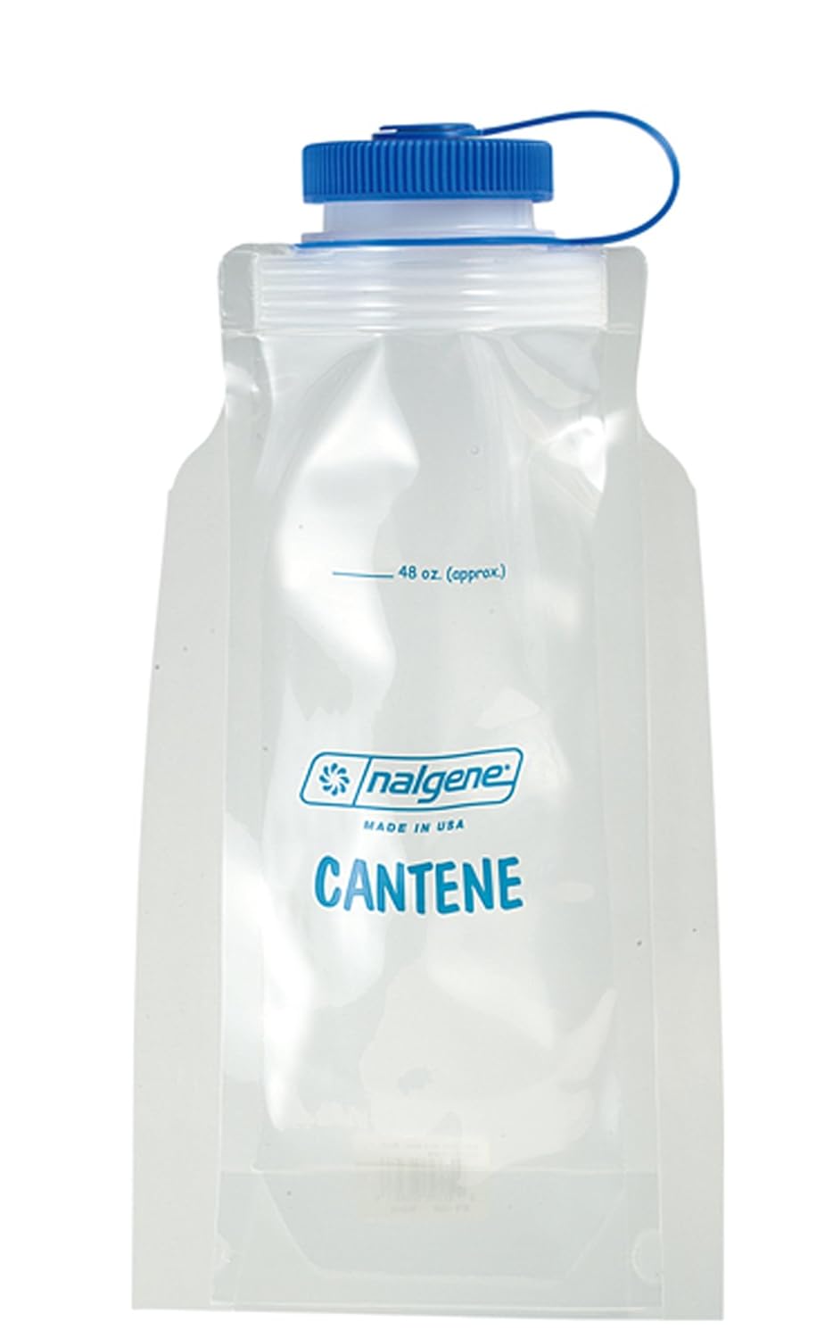
That won't work if I need to ferry too many liters of water. Of course, I could haul up a 3-4 liter camelback but that defeats the aim of fast and light. We shall see.
4. Trail conditions
Apparently the hurricanes that blew through the Northeast over the past decade laid waste to some of the trails - at least on the trail guide books. I don't know the validity of that account but I do know if the rains come down, the trails will be a mess. So, I might need to hike in something other than my flip flops. NOT GOOD. I prefer my flip flops to just about any other footwear.
 |
| The All-terrain Olukai Ohana - my footwear of choice year round |
Yeah, you think I'm crazy. I never get blisters and my feet are always warm. Heck, I hiked to Everest basecamp in flip flops; what might 10 small peaks in the White Mountains offer me that Nepal doesn't? Don't answer that question. Please. Still, the trail conditions may alter my gear options. I'll consider some closed toe shoes of some sort.
5. Transportation
I am not sure how I will pull this off - either solo or with friends. Right now, if I go alone, I need drive up to north side of the traverse, hike down south and then find a ride back up to my car. Another option is to go with someone else. We would drive separately to the south side of the traverse, leave one car, then drive together to the start (up north). When we finish, we would drive up to the start and collect the other car. Makes sense to me. The downside of that is we need to haul two cars all the way up to NH. I prefer to hangout with my adventure mates. If we hike together, I like to drive together. Doesn't make much sense to drive for hours separately so we can save being stranded 20 miles away from our car. I could run back to the car if necessary - that might make for more adventure and an even better story. Better be sure there is a ton of beer ready to consume if I hike then run. Need to sort out these details later.
So, there you have it - my initial ramblings about this weekend's potential adventure. I'm getting totally stoked just thinking about getting out of suburbia. So, any takers? I'll buy the beer and gas.
More Beta
Anyone interested probably ought to read some more beta for your own edification. Here are some links I found useful:
https://thebigoutside.com/step-onto-rock-step-down-repeat-50000-times-a-20-mile-9-peak-presidential-range-death-march/
https://www.collegeoutside.com/how-to-do-a-1-or-2-day-presidential-traverse-in-new-hampshire/
http://sectionhiker.com/great-hikes-a-presidential-traverse/
There are probably a few other links elsewhere on the internet - especially on SummitPost. I couldn't access SummitPost this morning (or last night for that matter) but you may be able to later.
Departure
One other important detail. I cannot take off until Saturday morning; Friday, we have a lab shindig at the pub. Also, I might be a little slow that morning after consuming a few too many pints of the fine stuff. I'll do my best to curb my thirst for Guinness but I cannot promise I'll deliver.
To create magnificent landscape pictures you must take a specific approach. You must choose the best camera for landscape photography and also have the right equipment like Photo Enhancement Software. Moreover, to develop beautiful landscape shots you must have excellent technical knowledge. In this article, we provide an in-depth look at landscape photography, and also some renowned landscape photographers – enjoy!
ReplyDeleteIf you were to analyze scuba diving safety rules and regulations, you would notice that they are designed to eliminate almost all chance for any accident to occur. Safe scuba divers follow these rules, leading to good diving habits, and unsafe diving is caused by bad diving habits. dive watches
ReplyDelete